Handheld

MINELiDAR LiDAR Scanning Handheld Icon

Handheld LiDAR scanners are incredibly portable, simple to use and can scan as easily as moving through an environment at normal walking speed. This makes them especially practical for frequent scanning and for large areas.

A great benefit of walking scans is that you are free to move the scanner around, so you can scan underneath and above objects.

Handheld LiDAR scanning data can be used to:

MINELiDAR Emesent Hovermap Handheld LiDAR Icon Map

Map the location of rock bolts, blast holes, equipment or pipe work

MINELiDAR Emesent Hovermap Handheld LiDAR Icon Water Flow

Highlight areas of water inflow

MINELiDAR Emesent Hovermap Handheld LiDAR Icon Displacement

Measure displacement or change between two or more scans

MINELiDAR Emesent Hovermap Handheld LiDAR Icon Geological Units

Identify changes in geological units

MINELiDAR Emesent Hovermap Handheld LiDAR Icon Wall Width Measurement

Measure the thickness of a pillar or wall

MINELiDAR Emesent Hovermap Handheld LiDAR Icon as-built modelling

Create an as-built model of buildings, excavations or infrastructure
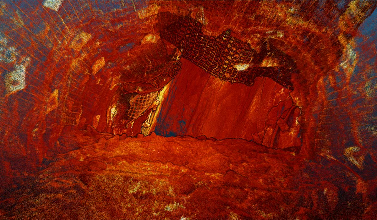
We conduct our handheld scans using the Hovermap payload from Emesent, capturing up to 300,000 points per second and providing a point cloud with a high level of detail.

MINELiDAR-LiDAR-scanning-Emesent-logo

In addition to our handheld scans, scans from multiple data collection methodologies can be merged to form a single model, which can help provide an even clearer picture.

Curious to see more?