Underground mining is a dynamic environment.
We pride ourselves on our ability to help you solve your problems by providing you with the information you need to make informed decisions, analysing the data and providing recommendations.
Systems such as the Cavity Monitoring System revolutionised stope reconciliation with the ability to define stope voids, however these systems come with issues relating to shadowing, point density and most importantly personnel exposure at the
stope brow.
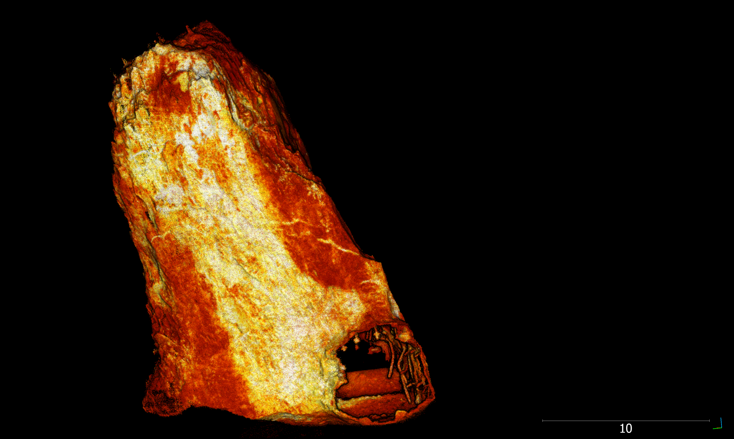
Hovermap is the next revolution for stope reconciliation. Hovermap significantly increases data density removing shadows almost entirely, allows detailed analysis of structures and blast holes and keeps people safely away from stope brows.
The Hovermap can be either drone or remote vehicle mounted. Information obtained from the high–resolution data means:
-
Structures can be clearly defined
-
Veins and lithology boundaries can be identified
-
Drill hole butts can be mapped
-
Accurate stope volumes can be calculated

