Rehabilitation Monitoring

Above Ground - Services - MineLiDAR

Surface environments provide plenty of challenges where LiDAR data can provide valuable data to help answer questions and support your decisions. Potentially LiDAR data is best combined with other sensors to provide the best answer.
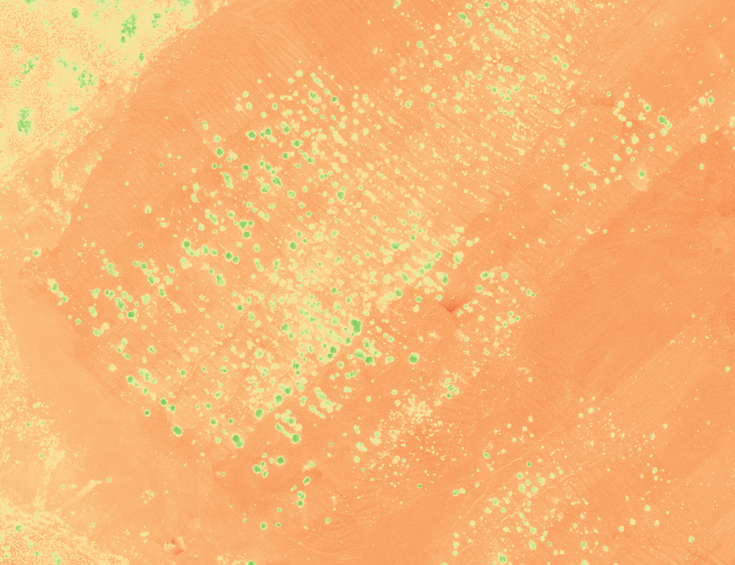
LiDAR Services - AboveGround - Rehabilitation Monitoring - MineLiDAR
MineLiDAR can also support you with multispectral and RGB imaging. This may be for either slope stability assessment or vegetation growth.  
Normalised Difference Vegetation Index (NDVI). Data for measuring the progress of vegetation growth. In this case in a mine rehabilitation situation. 

Curious to see more?