Vegetation Mapping

Above Ground - Services - MineLiDAR

Surface environments provide plenty of challenges where LiDAR data can provide valuable data to help answer questions and support your decisions. Potentially LiDAR data is best combined with other sensors to provide the best answer.
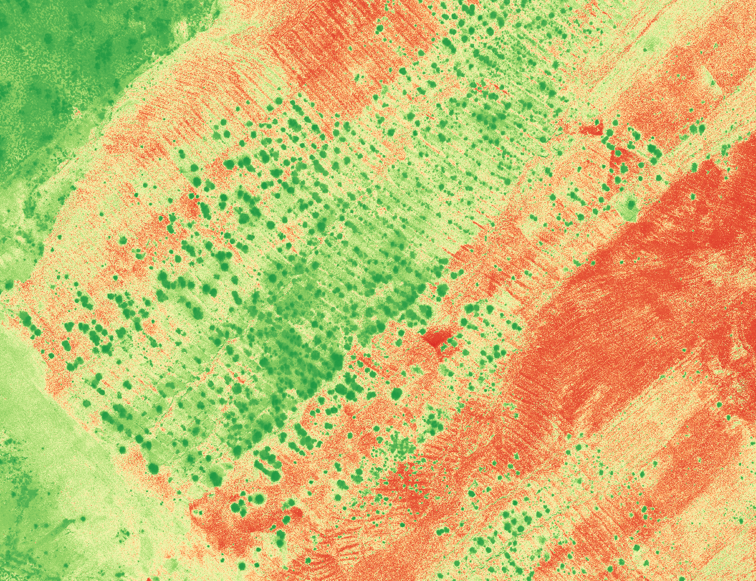
LiDAR Services - AboveGround - Photogrammetry and Multispectral Imaging - MineLiDAR
LiDAR is known for its ability to penetrate vegetation but it can also be used to understand vegetation density as well as being combined with multispectral imaging.

Curious to see more?