Bathymetric Surveys
Map deep below the water with
Bathymetric Surveys
We want to help people understand sedimentation, profile changes,
anomalies, and wall instabilities.


What is bathymetry?
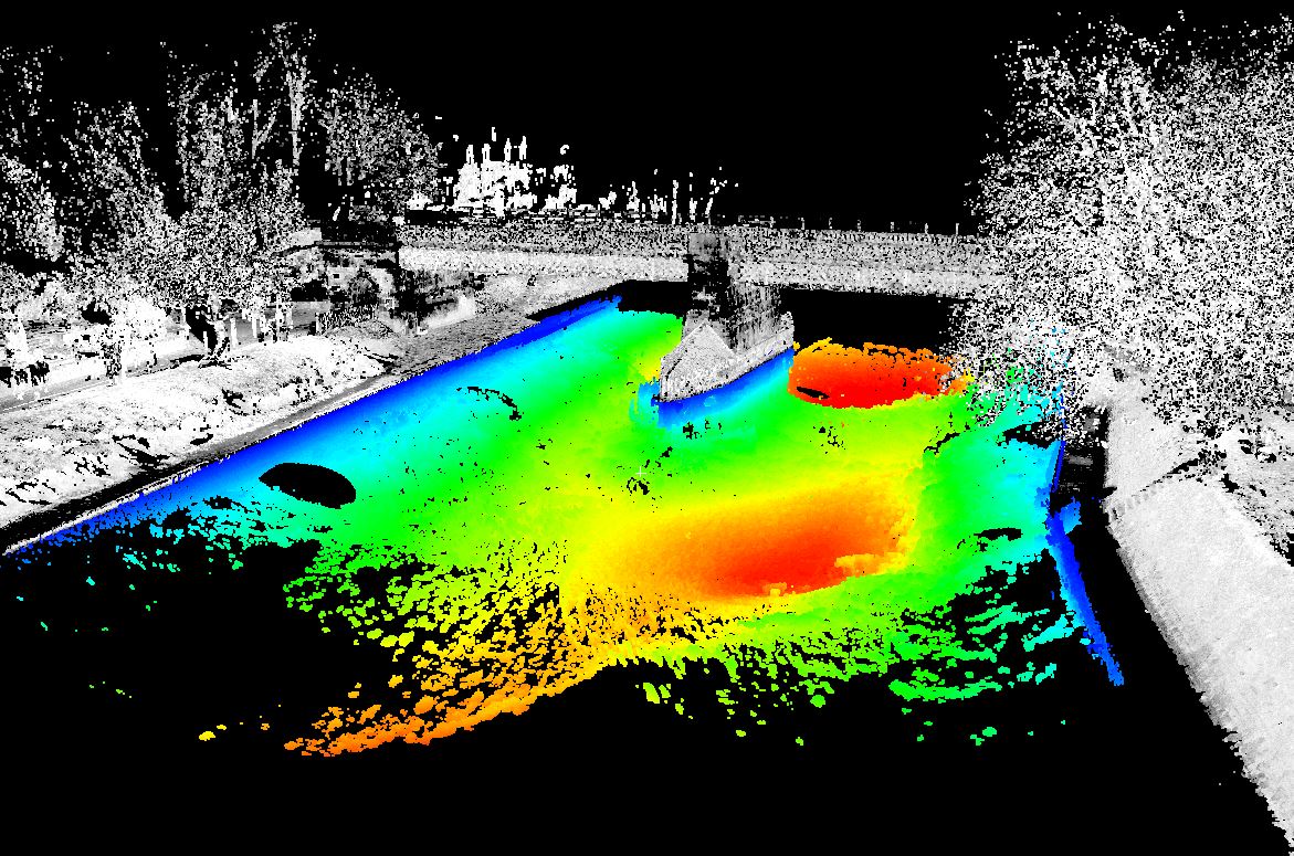
Bathymetry is the study and measurement of the depth at various places in a body of water, including rivers, streams, and lakes.
Talk to us about measuring your tailings storage facilities, flooded pits, dams, lakes, and rivers.
Capabilities:
-
Surveying water bodies up to 100m
-
Accuracy +/- 1cm for every 10m depth
-
Up to 10 pings per second
-
9 degree beam width
-
1km surveying range
