Infrastructure
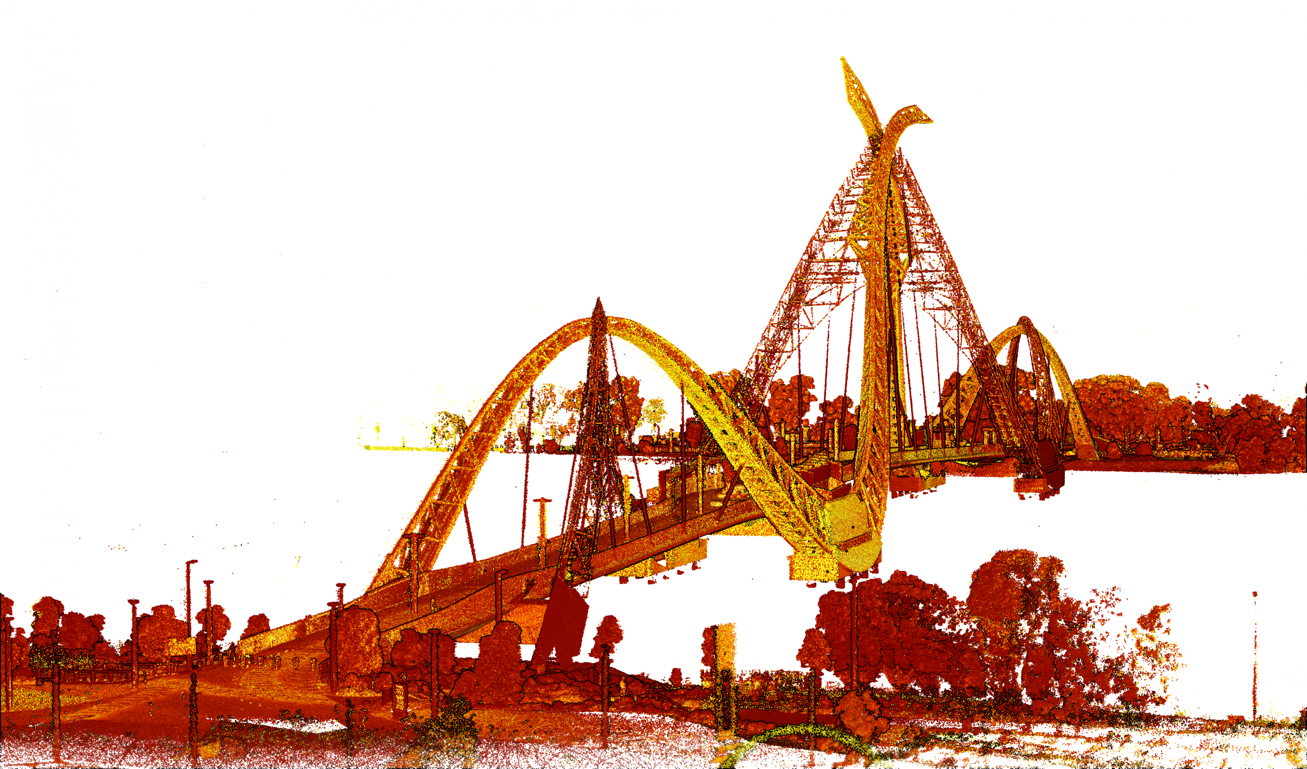
LiDAR scanning creates a 3D representation of any space and with Hovermap this can even work in GPS denied environments (such as under a bridge) and close to structures.
Using Hovermap’s collision avoidance technology we can scan whilst maintaining a minimum stand-off distance to the structures.

Infrastructure scanning covers a wide range of scanning options that MineLiDAR can provide:
-
Scanning the underside of bridges
-
Phone towers
-
Road and rail tunnels
-
Hydro tunnels
-
Road or rail cuttings
