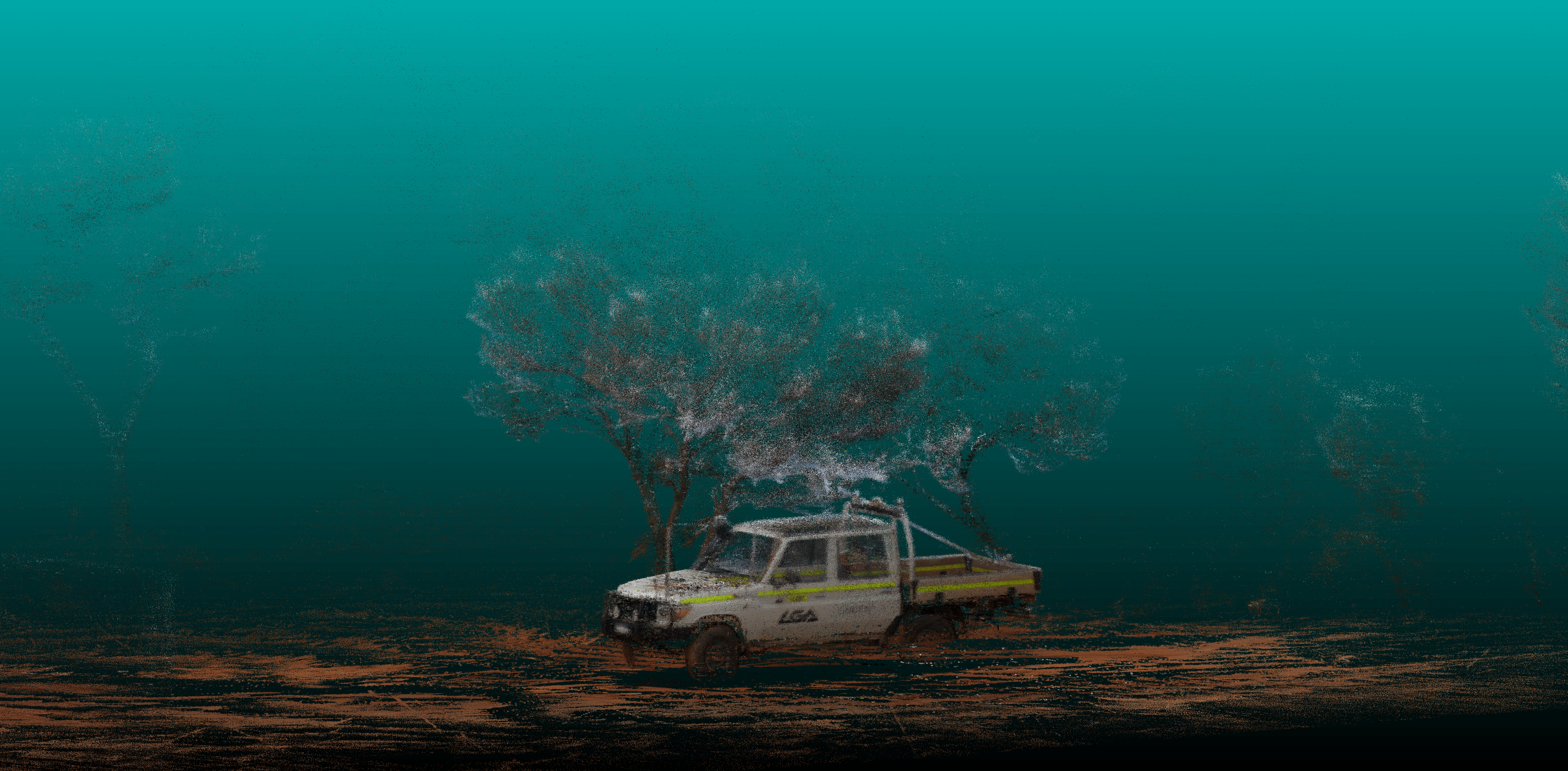
Point Cloud Colourisation
Surface environments provide plenty of challenges where LiDAR data can provide valuable data to help answer questions and support your decisions. Potentially LiDAR data is best combined with other sensors to provide the best answer.

