Raisebore Examination 1km Below Surface
Client:
Western Australian Gold Mine
Overview:
The client had engaged MineGeoTech to undertake the geotechnical design assessment for a 4.5m diameter ventilation raisebore between 1045m and 1208m below surface to assist development of a new area of the mine. As a means of validating the assessment a LiDAR scan was recommended.
Location:
Western Australia
Challenge:
Understanding the performance of the raise through multiple lithological units would assess the requirements for a liner for long term stability.
Calibration of empirical stability forecasts against actual performance for stress state with a k-ratio of 3.
Service/Approach:
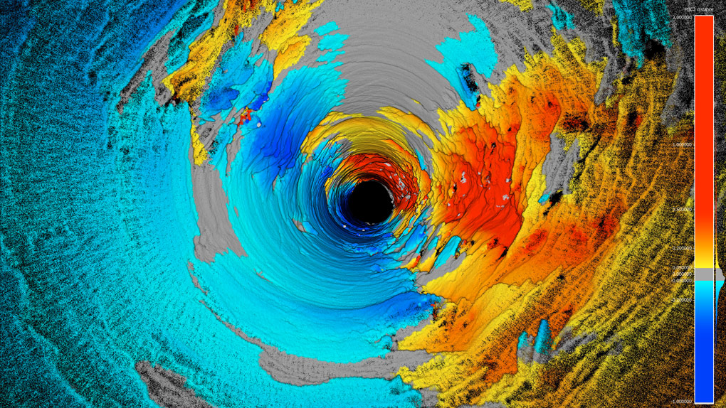
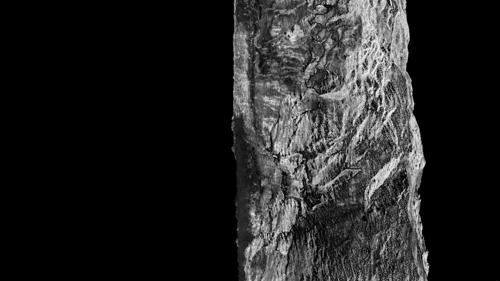
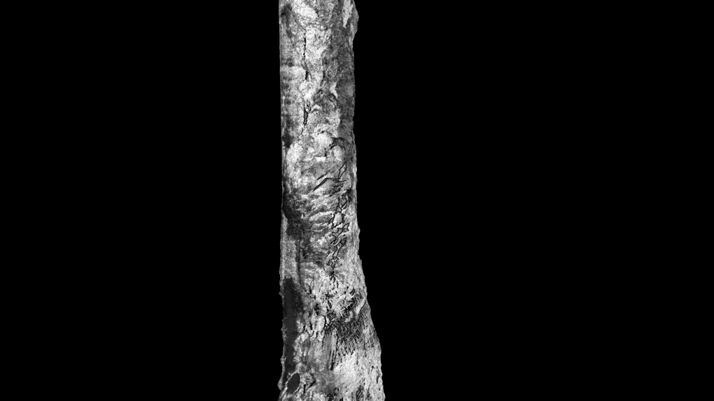
MINELiDAR deployed their Hovermap unit mounted to a winch. The unit was lowered down through the pilot hole to scan the entire length of the raisebore.
Solution/Result:
The detail of scan along the complete raise provided
-
Confirmation of 90deg rotation of the stress field in proximity to a regional fault
-
Assessment of numerical modelling criteria to compare forecast deformation against measured maximum overbreak
-
Part of the raise with stress spalling and parts of the raise with stress induced damage to structure
-
Validation against site seismic system
-
Assessment of drillers comments on face stability and empirical face stability
-
Comparison of empirical stable diameters with overbreak depth and overbreak areas
-
Observation of buckling on one side of the rise and minor fall out on the other
-
Assessment of the influence of penetration rate on seismicity and overbreak
-
Lithological controls on overbreak


