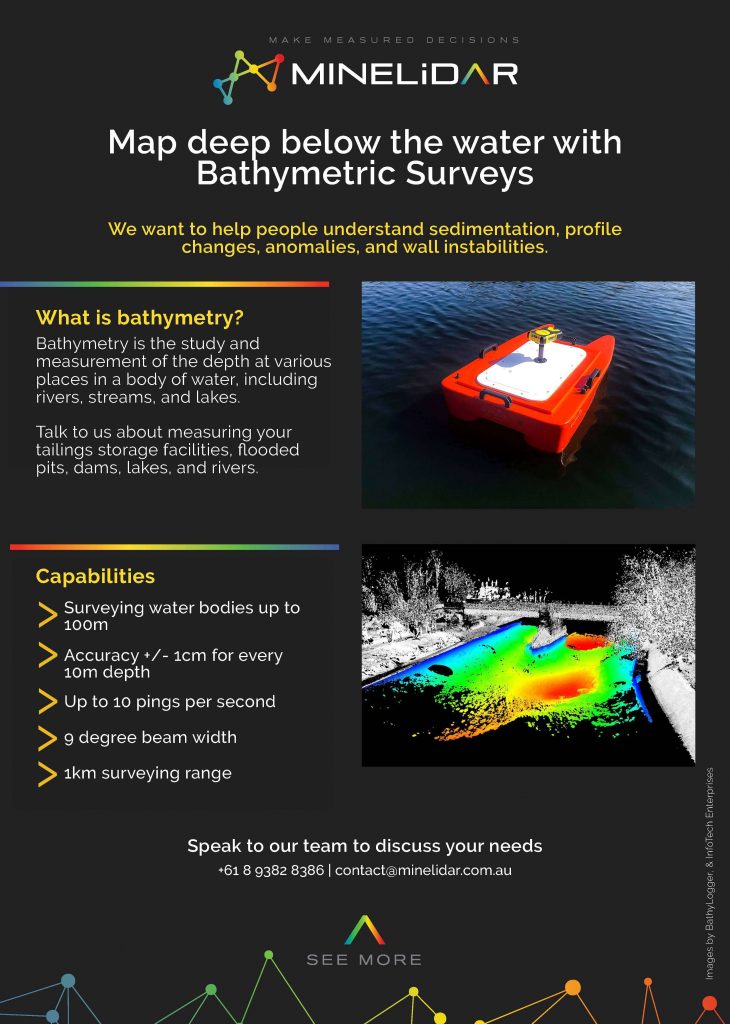
We want to help people understand sedimentation, profile changes, anomalies, and wall instabilities, and see more below the water.
How?
Through bathymetric surveys.
We want to help people understand sedimentation, profile changes, anomalies, and wall instabilities, and see more below the water.
How?
Through bathymetric surveys.