by MineLiDAR | Jan 6, 2021 | Article
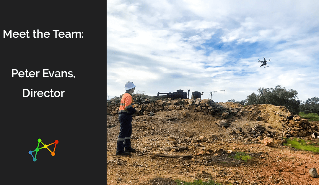
What is your role, and how long have you been at MineGeoTech before also becoming one of the Directors at MineLiDAR? I have been the Senior Geotech Engineer at MGT for 6 years, I have also been a director with MineLiDAR (MLD) for 12 months. I started playing around...
by MineLiDAR | Nov 11, 2020 | Article
We are excited to share with you our latest article on LiDAR and 3D technology, published in the Australian Mining Review. MineLiDAR Director, Peter Evans, was interviewed for this article in which we explore: What is LiDAR (Light Detection and Ranging)?What is SLAM...
by MineLiDAR | Jul 20, 2020 | Videos
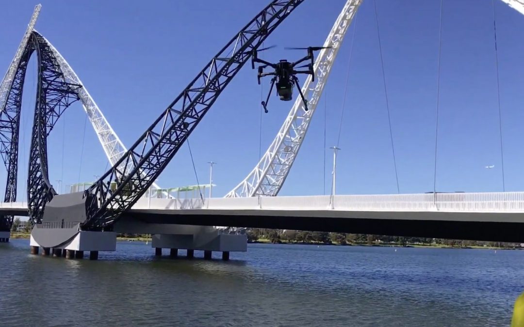
Scanning the Matagarup Bridge The MINELiDAR crew scanning the Matagarup Bridge in East Perth over the Swan River using the Emesent Hovermap drone. Return to Videos Get in TouchTo find out more about how our services can benefit you, get in contact with us. Contact...
by MineLiDAR | May 15, 2020 | Case Studies
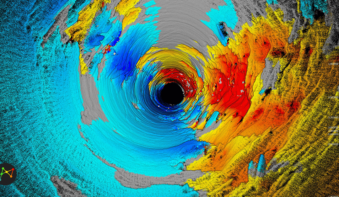
Raisebore Examination 1km Below Surface Client: Western Australian Gold Mine Overview: The client had engaged MineGeoTech to undertake the geotechnical design assessment for a 4.5m diameter ventilation raisebore between 1045m and 1208m below surface to assist...
by MineLiDAR | May 15, 2020 | Case Studies
Collapsed Surge Tunnel Investigation Client: Not for disclosure Overview: The client had a major collapse at a fault crossing a 1940’s head race tunnel. This tunnel supplied water to a hydro-electric power station and the collapse restricted the flow of water and...