The term light radar (LiDAR) comes from Light Detecting And Ranging. LiDAR scanning is a surveying technique that measures distance by illuminating the target with laser light and measuring the intensity of the light coming back to the sensor.
A LiDAR scanner creates millions of pulses or shots that bounce off the surfaces around it. If the scanner moves, it will take millions more measurements at different angles.
It is one of the backbones of the remote sensing methods acquiring high-density and high-accuracy geo-referenced data about the shape and surface characteristics of the Earth.
LiDAR is generally recognised as a major technological revolution after the global positioning system and is one of the leading research areas of high-precision surveying and mapping.
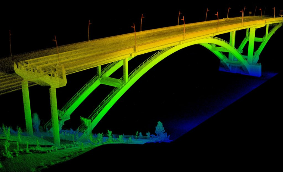
Image Courtesy: Emesent