LiDAR scanning is the process of using laser light to map objects in 3D. It can be used to map the inside of buildings, for geology, mapping forested areas, and more, including the mining industry.
The mining industry is one of the largest and most important industries in Australia. Mining companies rely on technology to ensure that they produce high-quality minerals and metals.
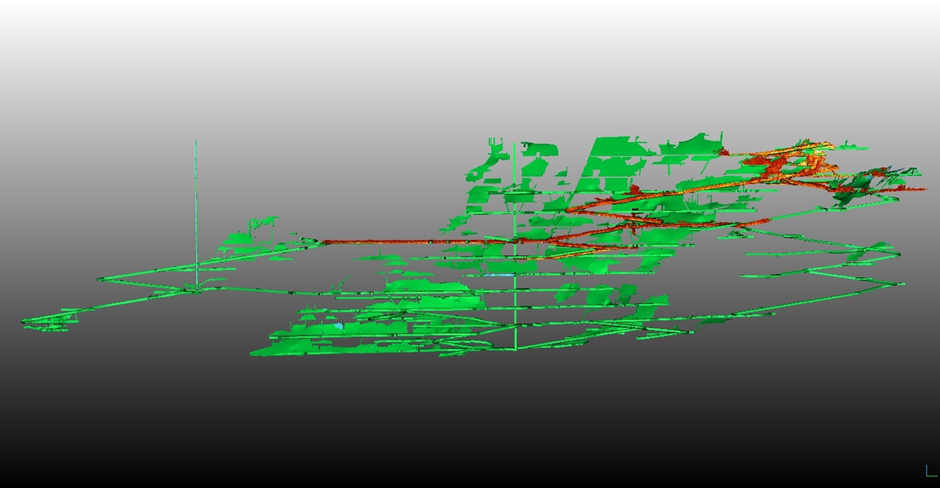
LiDAR technology can be used to produce accurate volumetric maps of areas within a mine, create detailed models of ore bodies and conduct surveys at scales not possible with other technologies.
Mining engineers use LiDAR scanning to obtain detailed void models, understand the interaction of adjacent voids and plan future mining. It is also used in mineral exploration, natural resource management and environmental assessment.
Underground mines truly benefit from LiDAR scans as conventional 3D measurement methods don’t provide the level of detail which can be provided through LiDAR scanning. LiDAR technology can be used to accurately map rock structures and safely explore the underground environment. This allows miners to plan an efficient route through a mine and identify areas of potential danger.
Using remote LiDAR scanning improves safety as LiDAR units like the Hovermap can be attached to a drone. This way more ground can be covered in less time, no humans need to enter areas that are hazardous, and more accurate 3D image outputs for more informed decision making.