Bathymetry is the study and measurement of the depth at various places in a body of water, including rivers, streams, and lakes.
Bathymetric surveys allow us to measure the depth of a water body as well as map the underwater features of a water body. Multiple methods can be used for bathymetric surveys including multi-beam and single-beam surveys. We use bathymetric surveys for many different types of water bodies including:
- Tailings storage facilities
- Flooded pits
- Dams
- Lakes
- Rivers
- Streams
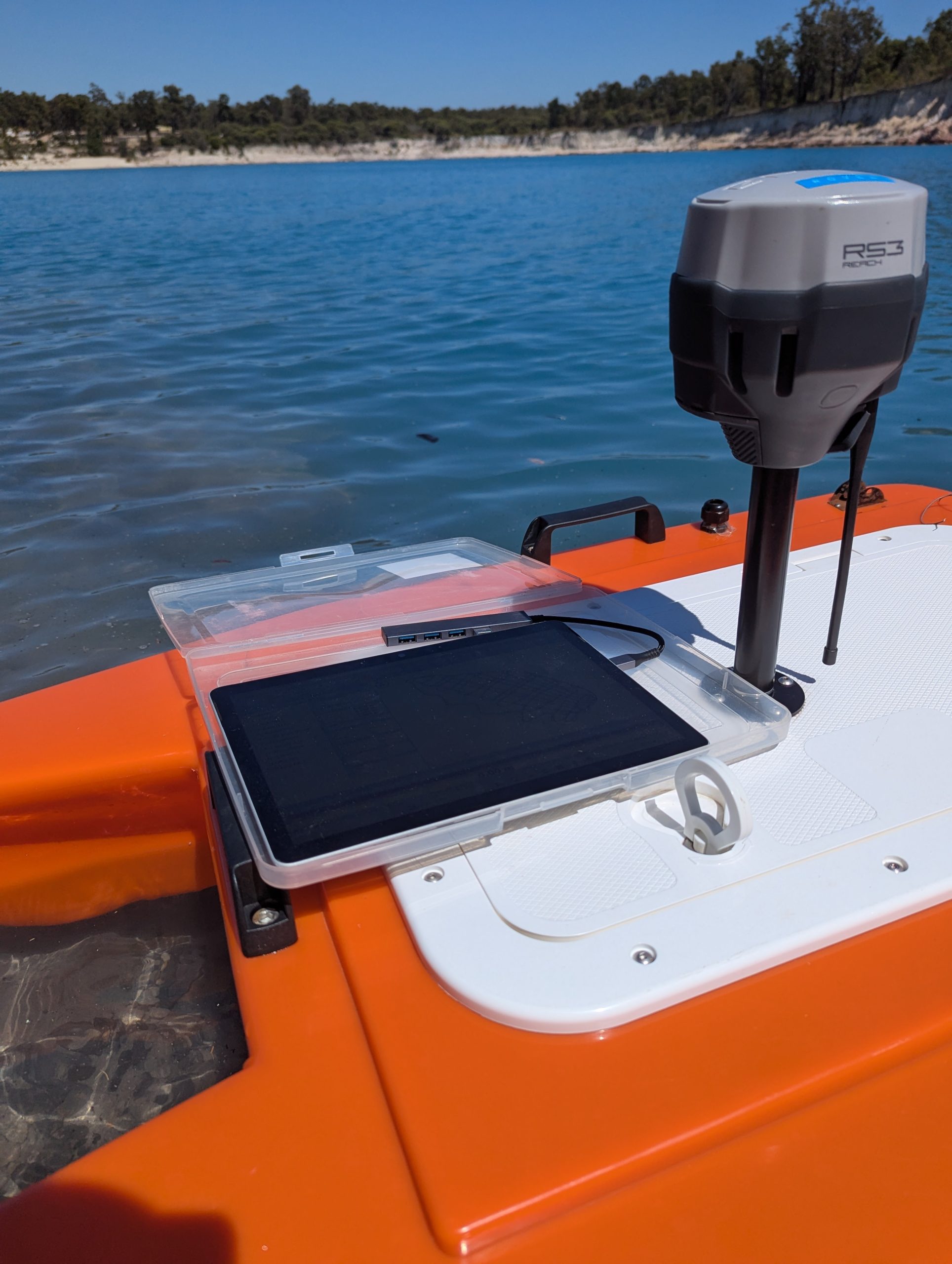
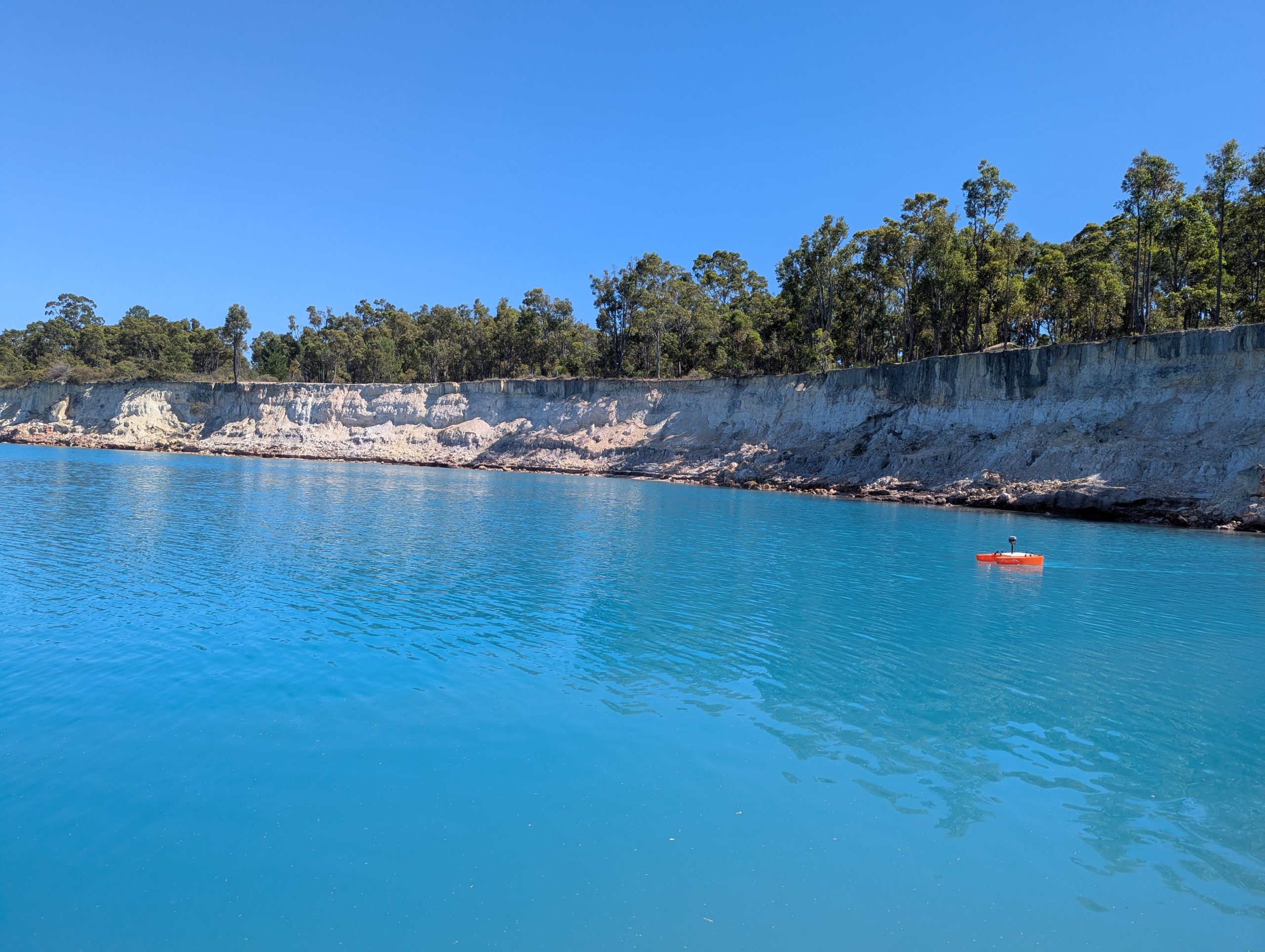
We use the BathyCat Survey Catamaran. It is a portable unmanned survey catamaran designed to complete bathymetric surveys with a single beam echo sounder while you are safely on the shore. It is also ideal for hard-to-reach areas where launching a boat is not an option.
Capabilities include:
- Surveying water bodies up to 100m
- Accuracy +/- 1cm for every 10m depth
- Up to 10 pings per second
- 9-degree beam width
- 1km surveying range