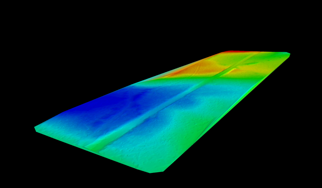
DTM stands for Digital Terrain Model and is a digital description of a given geographical region. Digital Terrain Models (DTMs) are typically generated using ground-based laser scanning to provide high-resolution bare earth models of the terrain surface.
The data files contain the elevation data of the terrain in a digital format which relates to a rectangular grid. Vegetation, buildings and other cultural features are removed digitally, leaving just the underlying terrain.
However, when you refer to the USGS LiDAR Base Specification, a digital terrain model (DTM) has two definitions depending on where you are in the world. In some countries, a DTM is synonymous with a DEM (digital elevation model).
In the United States and other countries, a DTM has a slightly different meaning. A DTM is a vector data set composed of regularly spaced points and natural features such as ridges and breaklines.
Curious to see more?
Get in touch >
Our Services >
View Videos >
Sources:
