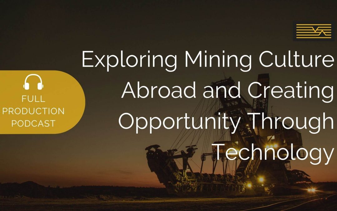
by MineLiDAR | Jul 5, 2022 | Podcast
Advances in technology have defined the way we’re doing things both above and below ground. With so many new developments on the horizon, what does the future hold for us miners? Join Peter Finn, managing director of FACE Contracting, as he sits down with...
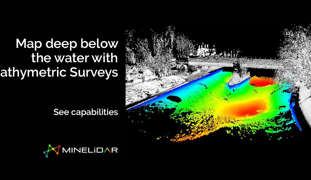
by MineLiDAR | Feb 16, 2022 | Services
We want to help people understand sedimentation, profile changes, anomalies, and wall instabilities, and see more below the water. How? Through bathymetric surveys. See more and make measured decisions with our MineLiDAR services. Get in touch >Our Services >View...
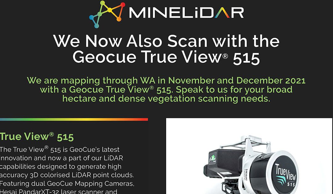
by MineLiDAR | Nov 1, 2021 | Services
We can now scan broad hectare and dense vegetation areas thanks to the GeoCue Group True View® 515 scanner throughout November and December 2021. MineLiDAR Geocue True View 515 Scanning See More See more and make measured decisions with our MineLiDAR services. Get in...
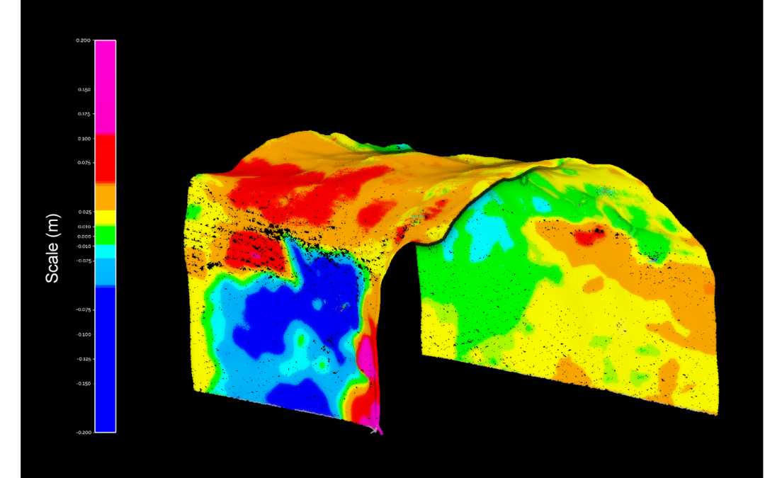
by MineLiDAR | Sep 8, 2021 | Case Studies
Improving Convergence Monitoring with LiDAR Data at Rio Tinto’sArgyle Diamond Mine A case study created in collaborationwith Emesent Comprehensive and accurate convergence data at Rio Tinto’s Argyle Diamond Mine delivered by MineLiDAR using Emesent’s...
by MineLiDAR | Mar 25, 2021 | Article
We conduct geotechnical analyses of raisebores using LiDAR scans and data to enable us to see more. Curious to find out more? Learn more with our presentation on Geotechnical Analysis of Raisebores Using LiDAR Data presented by MineLiDAR Director, Peter Evans at the...