by MineLiDAR | Sep 15, 2022 | Article
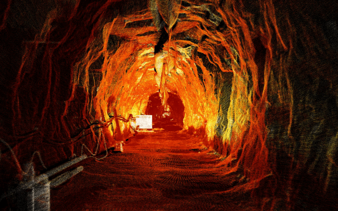
Understanding the environment: The client had a major collapse at a fault crossing a 1940’s headrace tunnel. This tunnel supplied water to a hydroelectric power station and the collapse restricted the flow of water and power generation capacity. Rocks, clay material...
by MineLiDAR | Sep 13, 2022 | Article
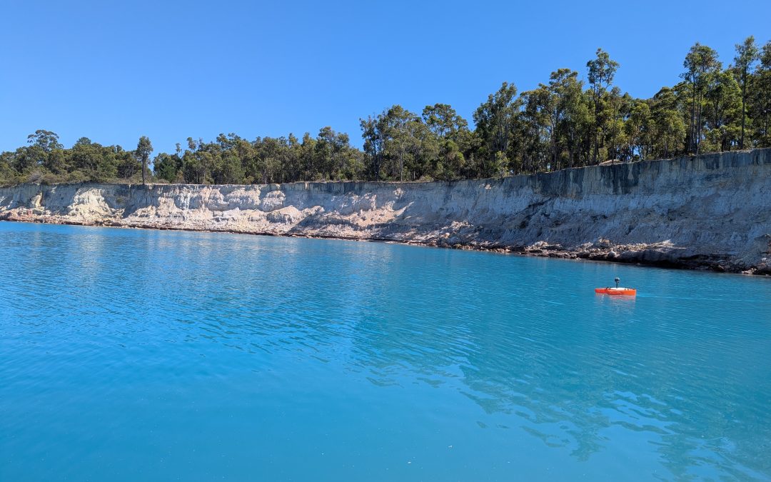
Bathymetry is the study and measurement of the depth at various places in a body of water, including rivers, streams, and lakes. Bathymetric surveys allow us to measure the depth of a water body as well as map the underwater features of a water body. Multiple...
by MineLiDAR | Aug 24, 2022 | Article
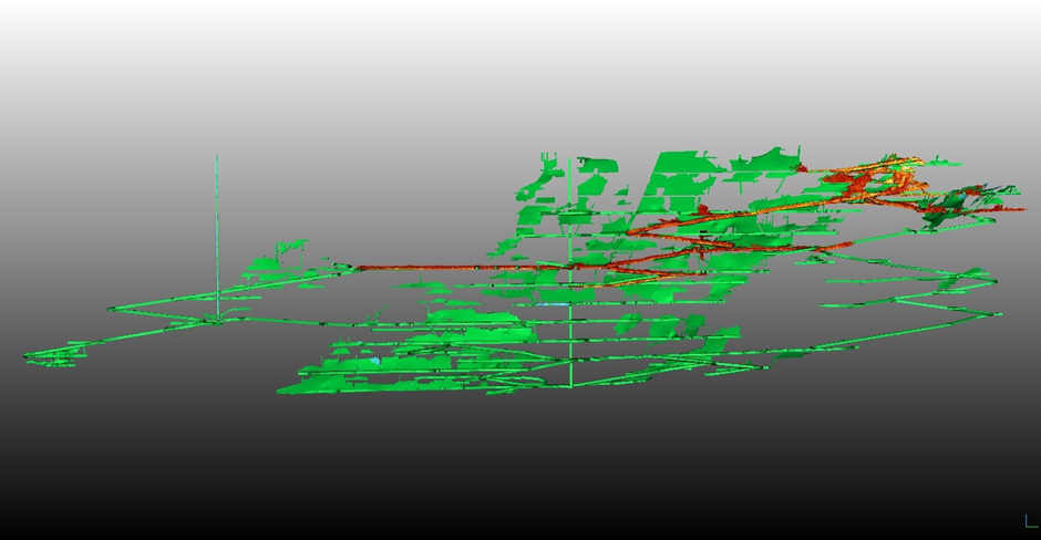
LiDAR scanning data overlain on digitised mine plans LiDAR scanning is the process of using laser light to map objects in 3D. It can be used to map the inside of buildings, for geology, mapping forested areas, and more, including the mining industry. The mining...
by MineLiDAR | Aug 16, 2022 | Article
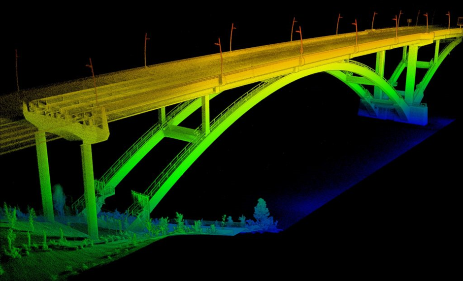
The term light radar (LiDAR) comes from Light Detecting And Ranging. LiDAR scanning is a surveying technique that measures distance by illuminating the target with laser light and measuring the intensity of the light coming back to the sensor. A LiDAR scanner creates...
by MineLiDAR | Mar 25, 2021 | Article
We conduct geotechnical analyses of raisebores using LiDAR scans and data to enable us to see more. Curious to find out more? Learn more with our presentation on Geotechnical Analysis of Raisebores Using LiDAR Data presented by MineLiDAR Director, Peter Evans at the...
by MineLiDAR | Jan 6, 2021 | Article
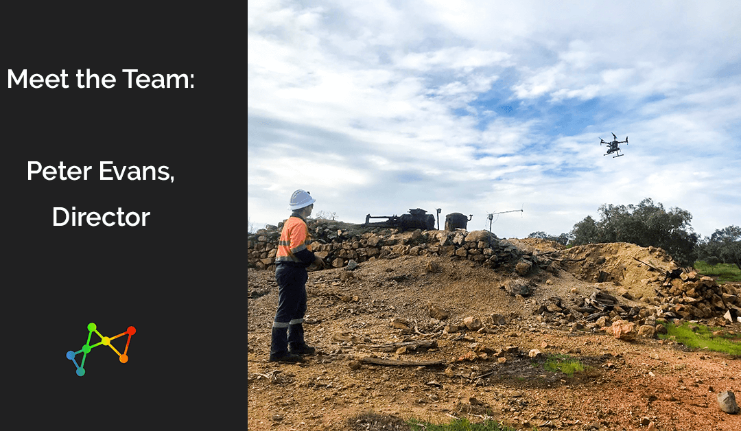
What is your role, and how long have you been at MineGeoTech before also becoming one of the Directors at MineLiDAR? I have been the Senior Geotech Engineer at MGT for 6 years, I have also been a director with MineLiDAR (MLD) for 12 months. I started playing around...